No description

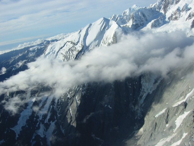 acx.jpg
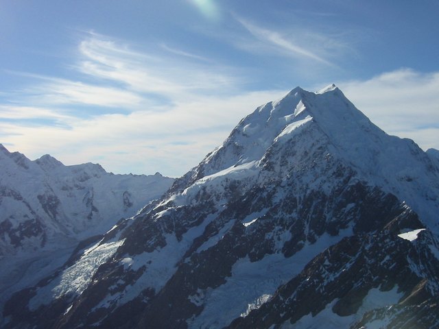 Mount Cook (all 3755 metres of it!)
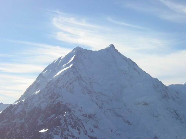 acz.jpg
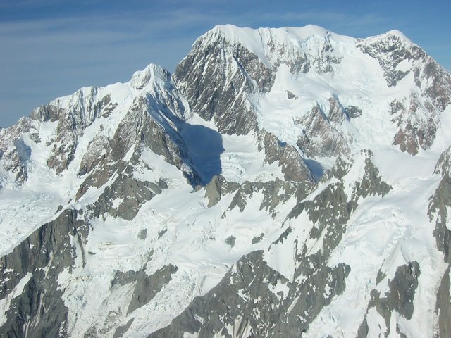 Mount Tasman (3498M)
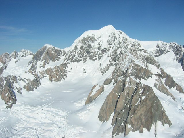 acu.jpg
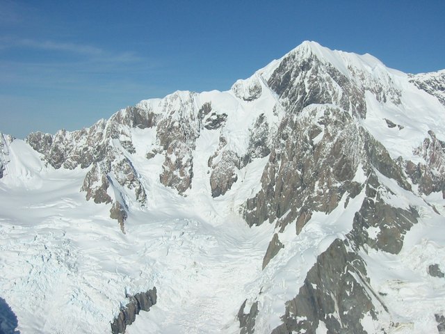 acv.jpg
 Murchison Glacier
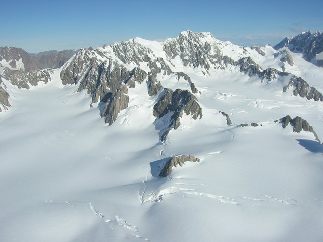 acp.jpg
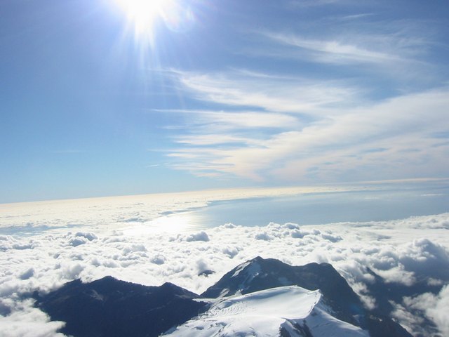 Looking west towards the Tasman sea
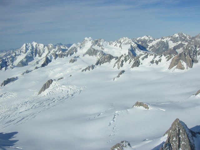 acr.jpg
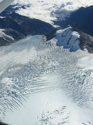 Franz Joseph Glacier
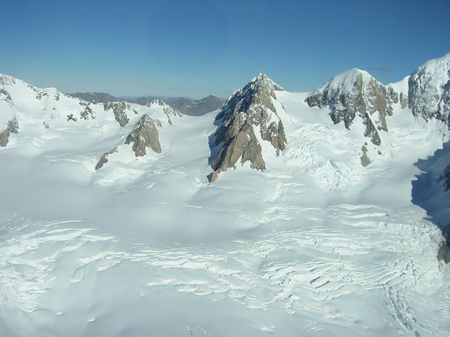 act.jpg
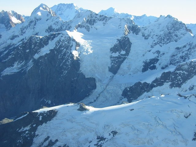 acn.jpg
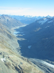 acl.jpg
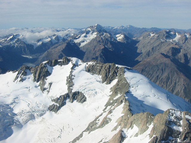 acm.jpg
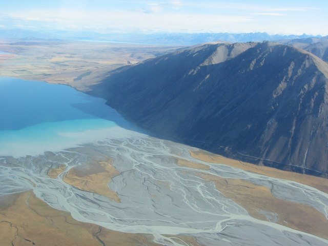 ace.jpg
 acf.jpg
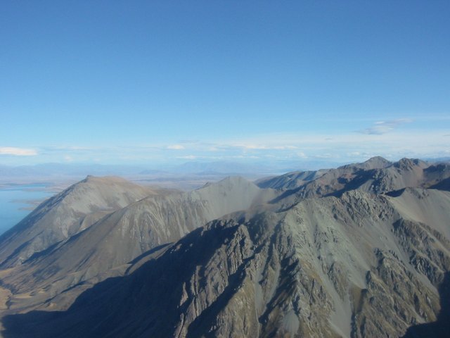 Foothills of the southern alps
 ach.jpg
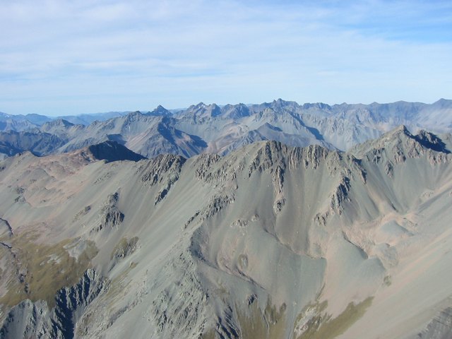 aci.jpg
 acj.jpg
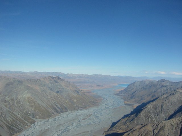 ack.jpg
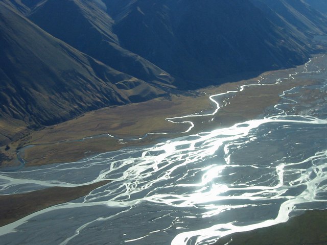 Glacial meltwaters along with disolved rock flowing towards lake Tekapo
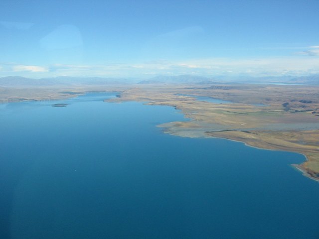 acc.jpg
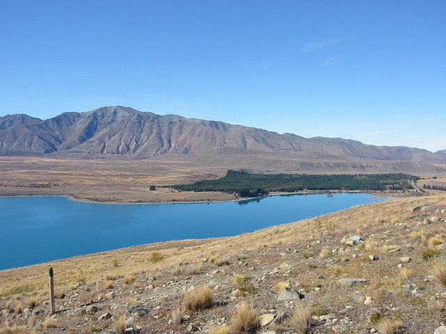 abv.jpg
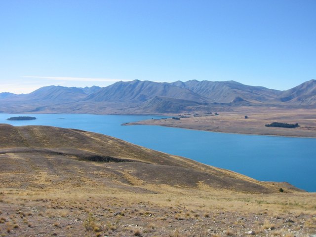 abw.jpg
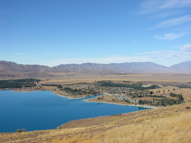 abx.jpg
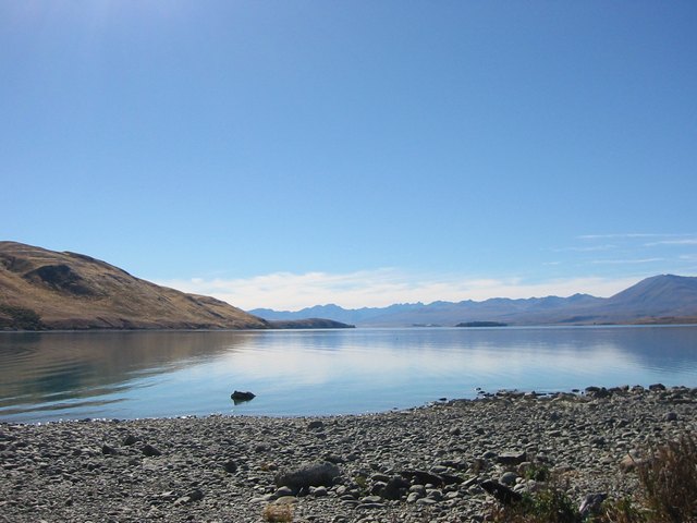 aby.jpg
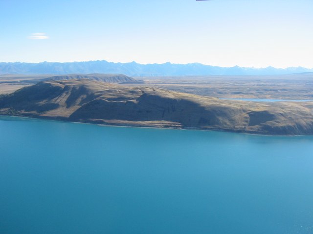 Lake Tekapo from an aircraft (during a flight over Mnt Cook and the glaciers)
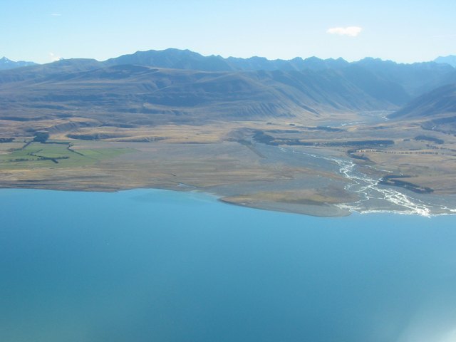 aca.jpg
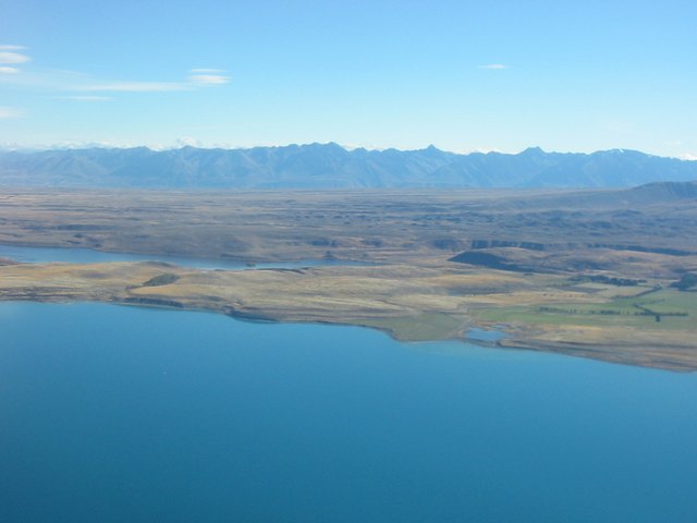 acb.jpg
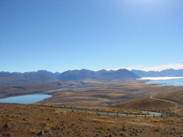 abu.jpg
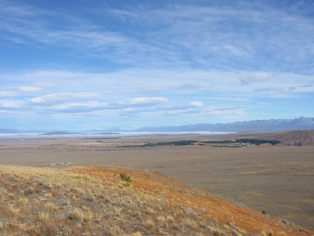 abr.jpg
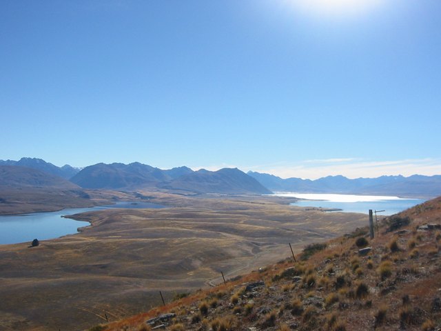 abs.jpg
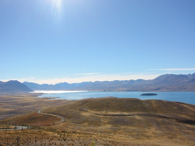 abt.jpg
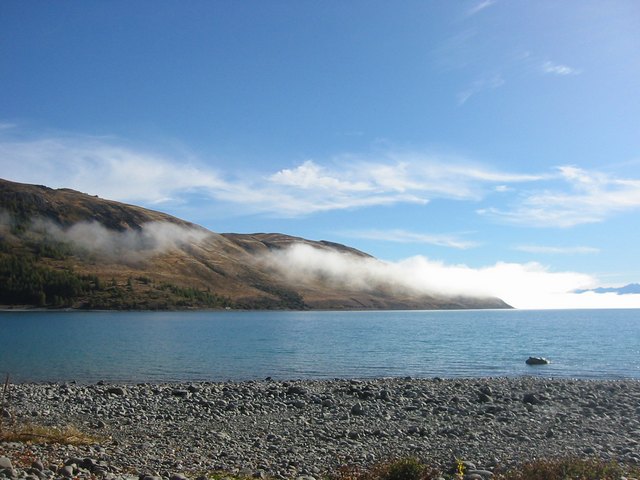 abl.jpg
 abm.jpg
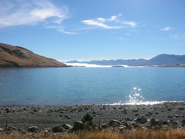 abn.jpg
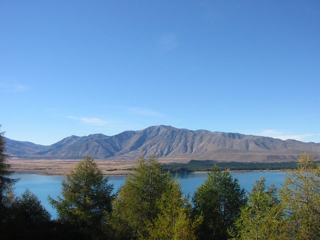 Lake Tekapo and the surounding plains from Mount John
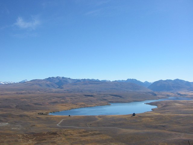 abp.jpg
 abq.jpg
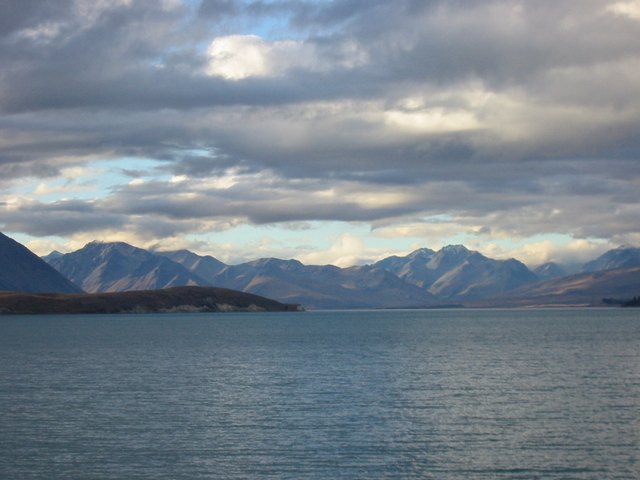 abk.jpg
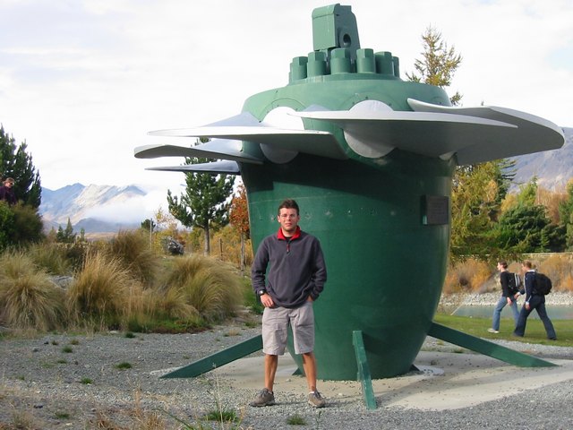 One of the old turbines from the Dam!
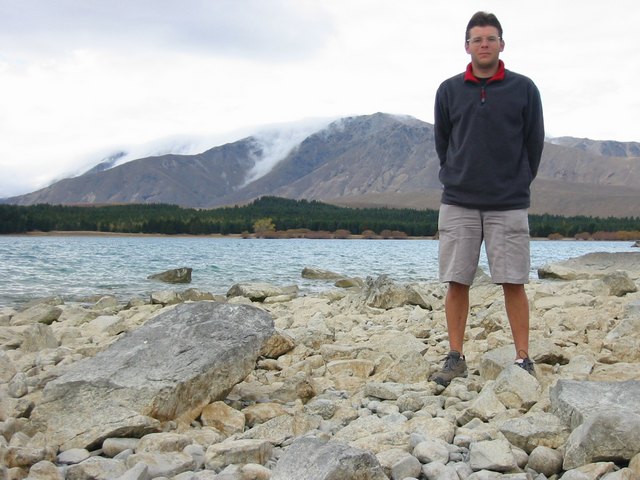 More Lake Tekapo photo's
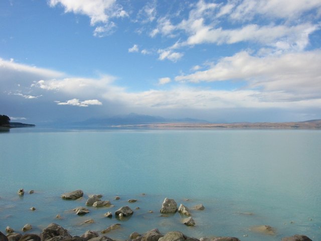 Lake Pukaki again - the colour comes from suspended, partially disolved rock particles
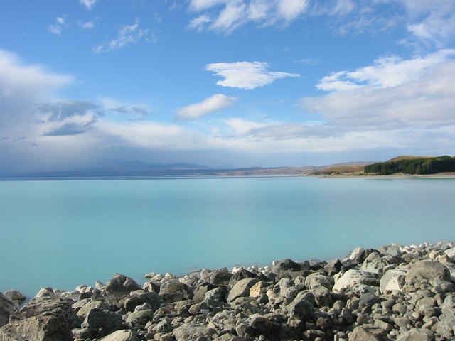 abd.jpg
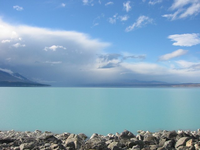 abe.jpg
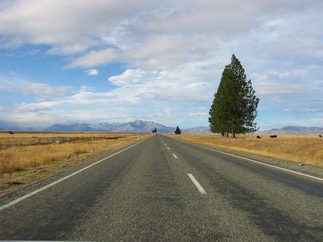 The road to Lake Tekapo
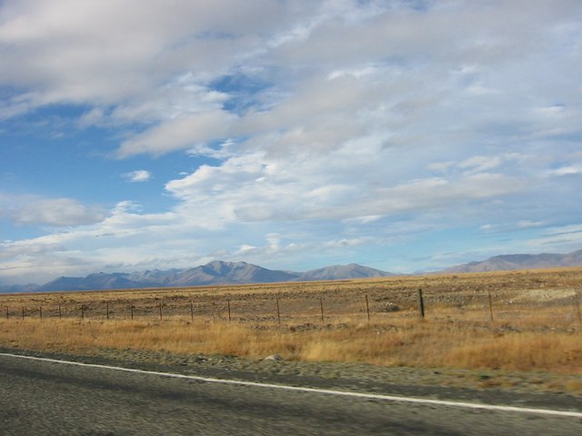 abg.jpg
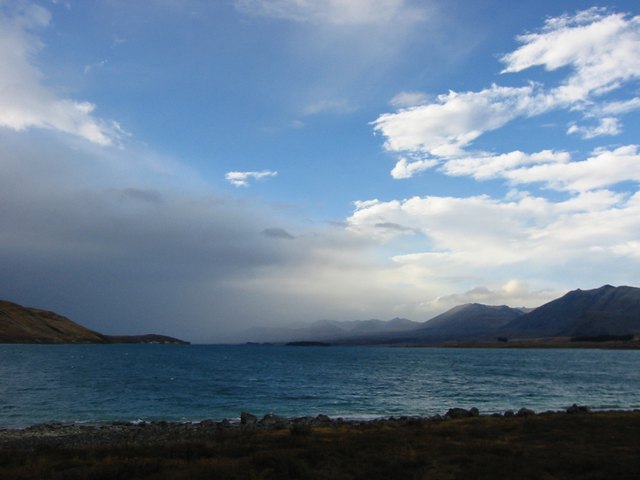 Lake Tekapo from the YHA windows!
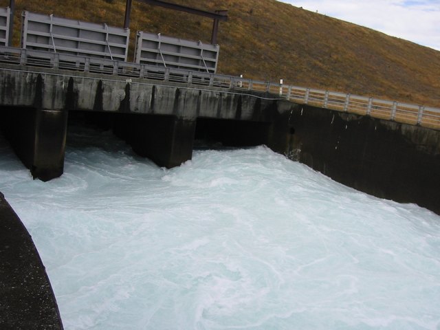 The flow control gates
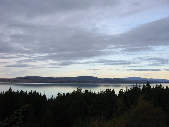 Lake Pukaki near Mount Cook (which had its head in the clouds!)
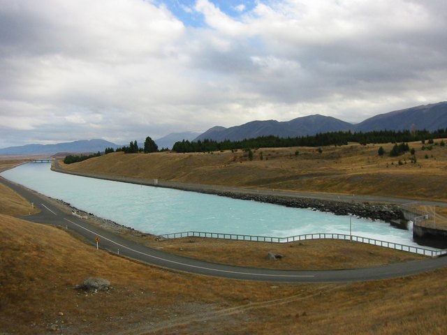 Part of a massive Hydro scheme. 2.5 olyimpic swimmingpools per min flow down this channel which feeds into another lake which ho